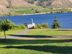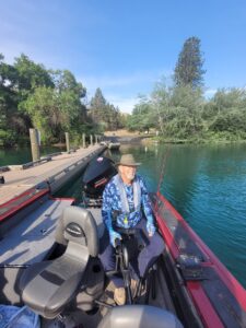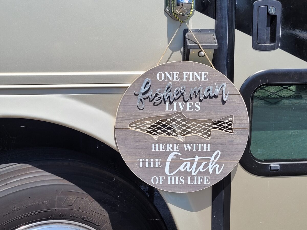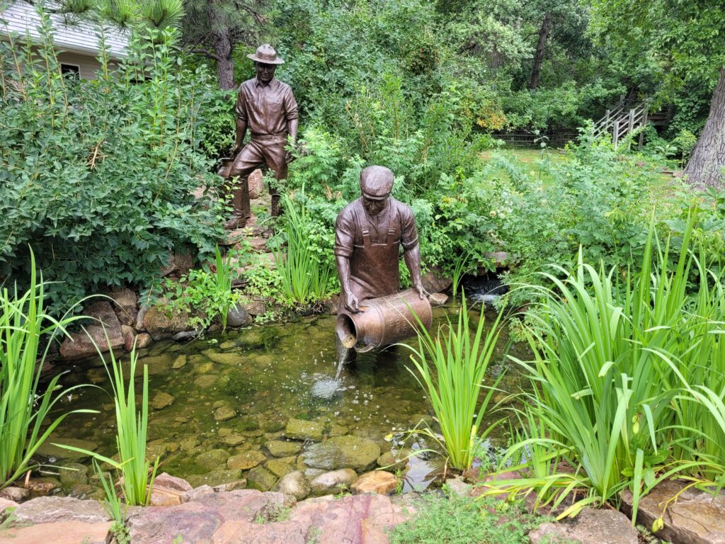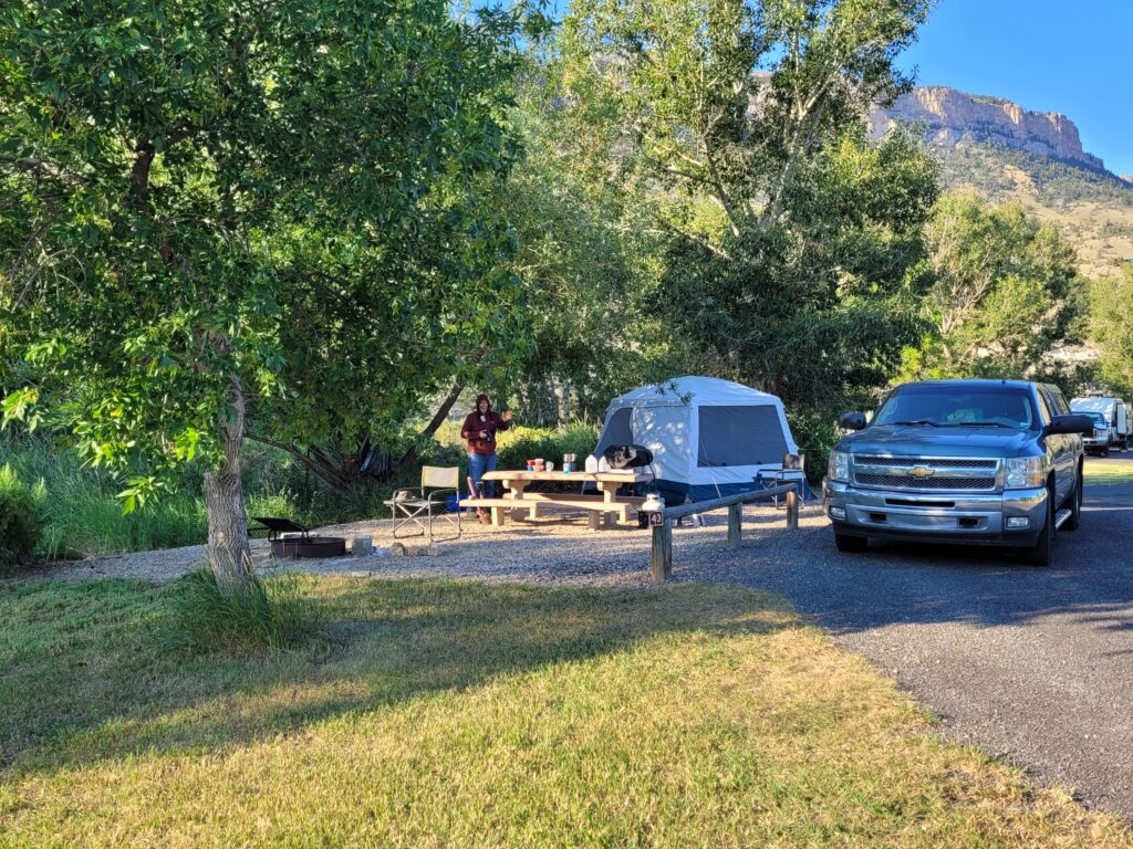
As we rolled back into Havasu on November 1st, we hit the ground running for our guided fishing business. Not typically how we ease into our routine—October is usually our time to get back in the groove—but would I trade a bit of mayhem for an extra month of freedom? You betcha!
A Whirlwind Brewing
Today, I want to dive into a topic that’s been buzzing among full-time RVers: domiciling in South Dakota. Recent chatter has raised concerns about new restrictions, particularly regarding voting, and I think it’s important we address this head-on.
Earlier, I created a video about voting restrictions in South Dakota, which I felt was essential for our community. Although the recent decision to require full-timers to be physically present in the state for 30 days before voting was overturned, I can’t shake the feeling that this could just be the beginning of more challenges ahead.
Now, I’ve come across some troubling news from “South Dakota Voice.” Did you know South Dakota ranks fifth in the nation for high car insurance rates? We’re talking about a dubious honor shared with states like Louisiana and Florida. The crux of the issue? Many who claim South Dakota as their home are actually residing elsewhere, which complicates residency laws.
There are proposed solutions, but they resemble administrative nightmares—coordinating across state lines is no small feat. The easiest fix? Strengthening residency requirements. The article says, “A new bill, HB 1066, is currently winding its way through the legislature. If you want to see lower insurance rates, now’s the time to contact your legislators and urge them to vote yes on this bill!”
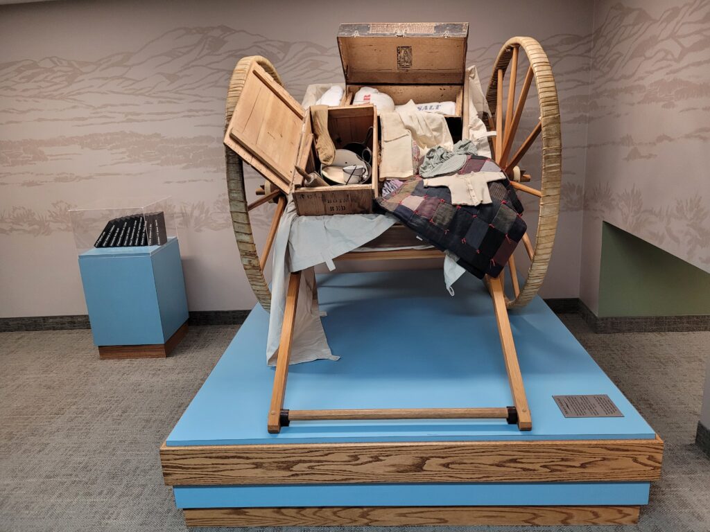
Changing your domicile is a significant move, and it’s clear this issue isn’t going anywhere soon. We have been happy to call South Dakota home since 2013. As for the voting restrictions, we’re grandfathered in, but who knows what’s next?
The Good, The Bad, the Unexpected
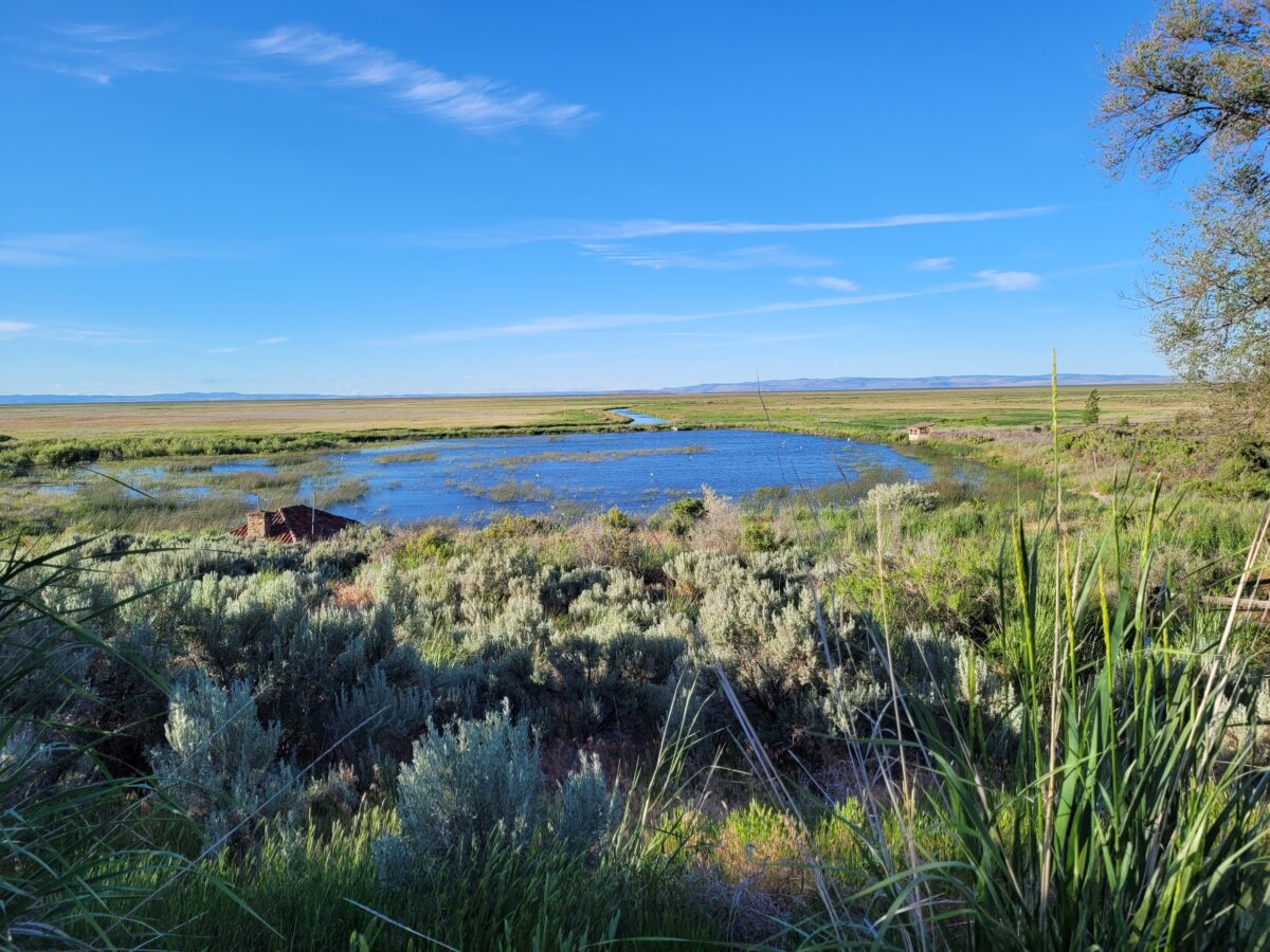
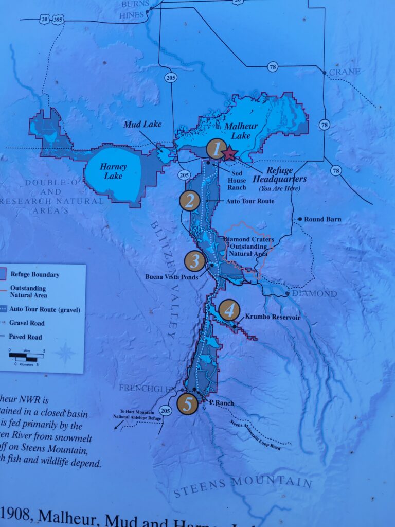
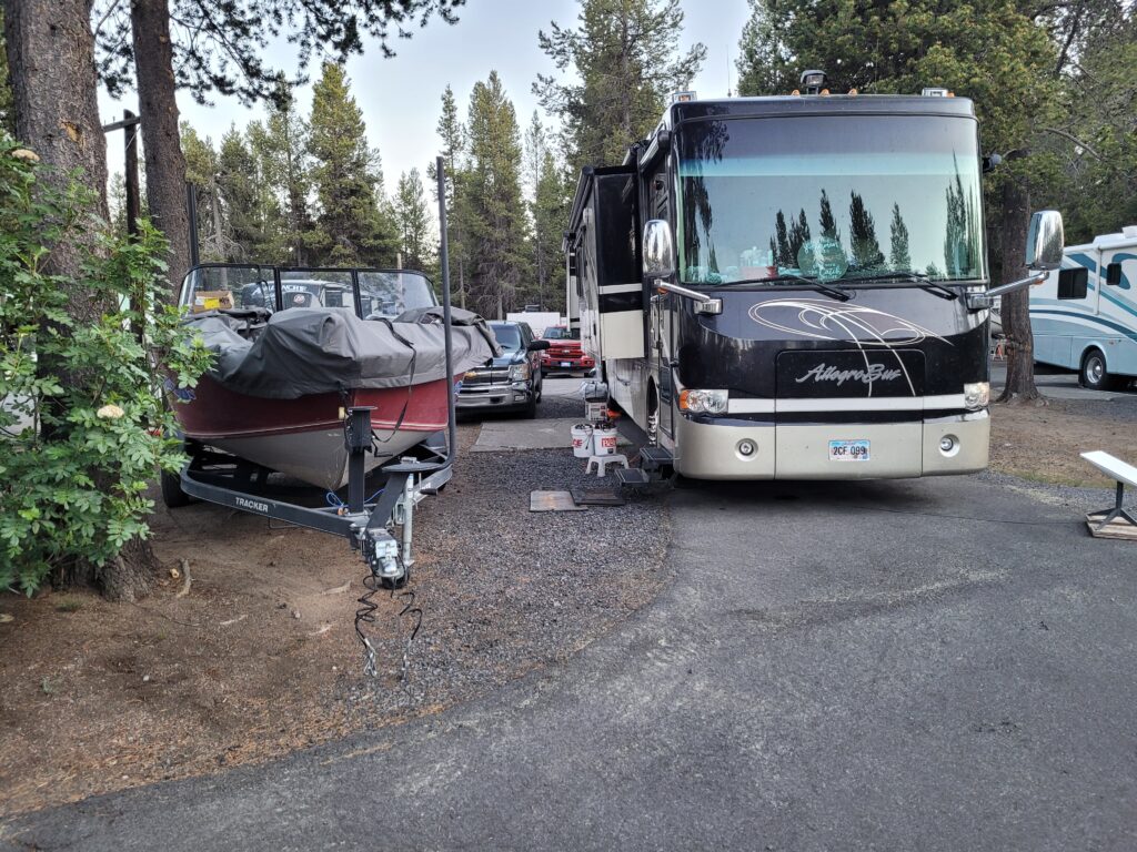
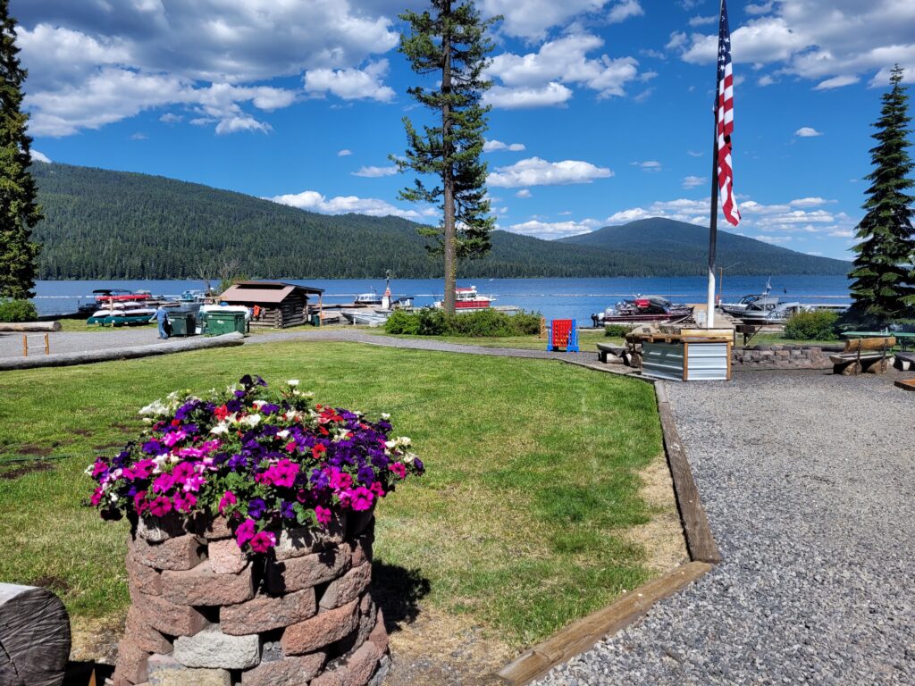
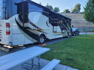
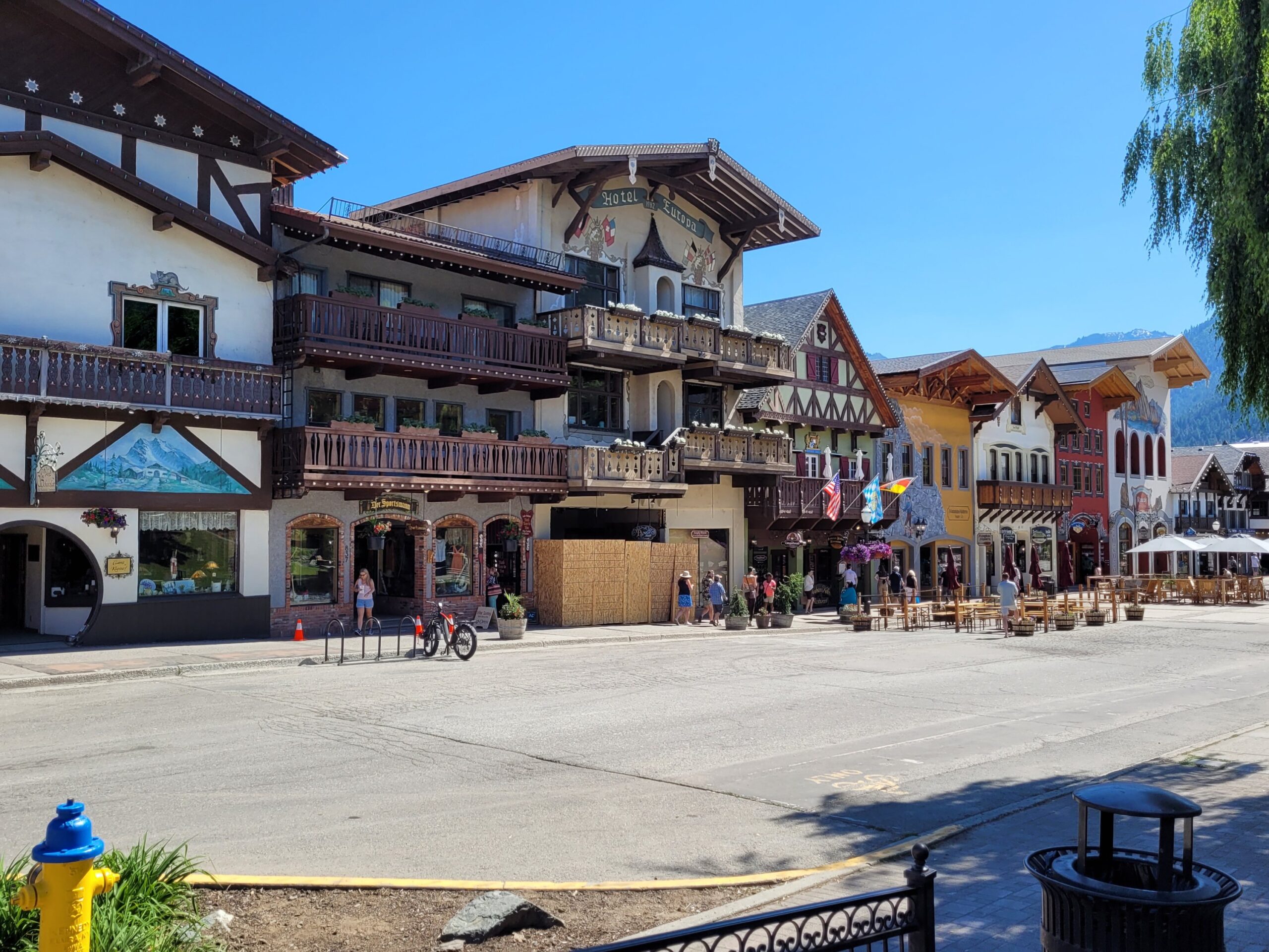
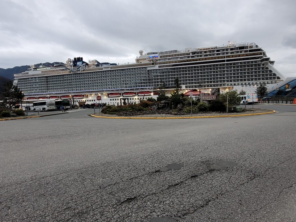
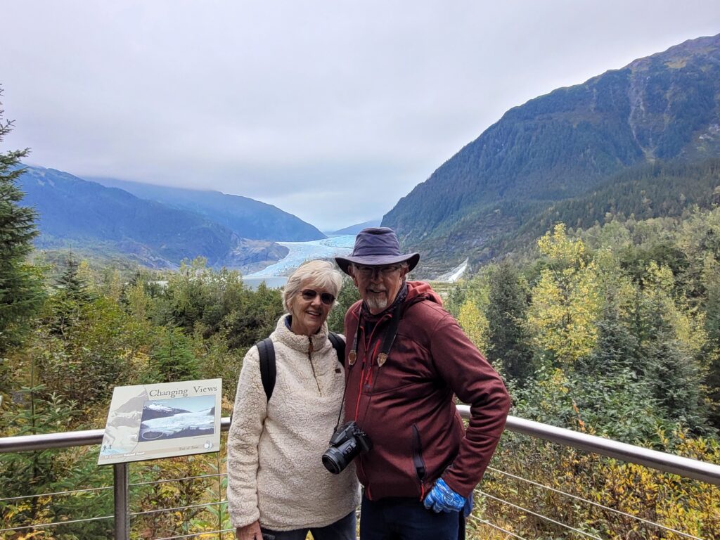
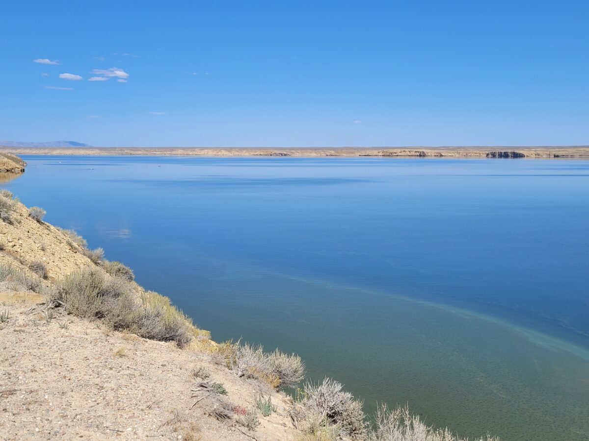
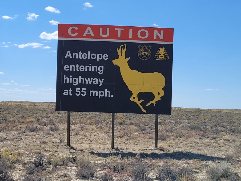
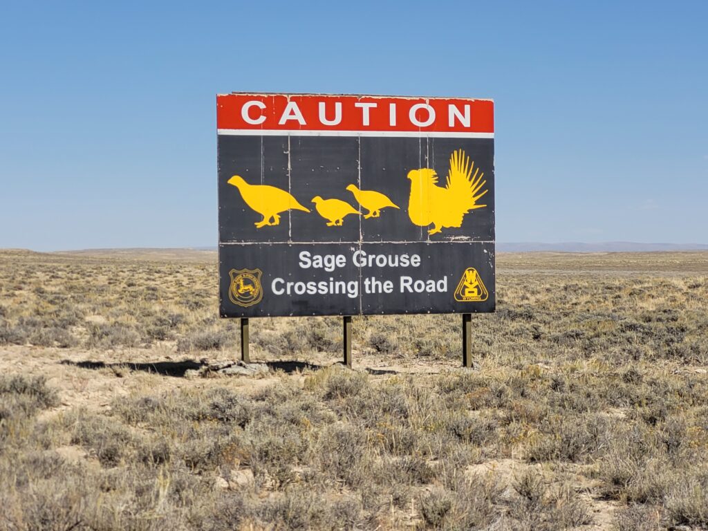
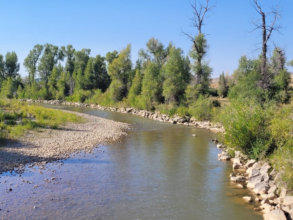
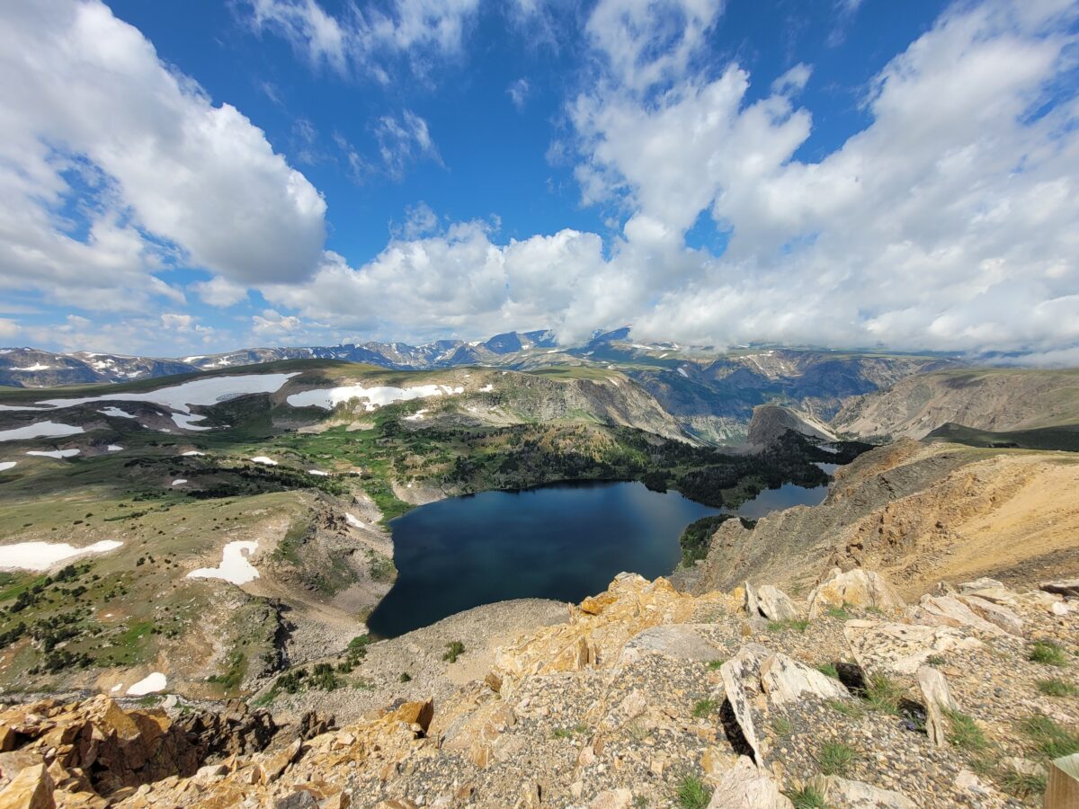
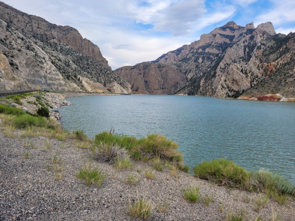
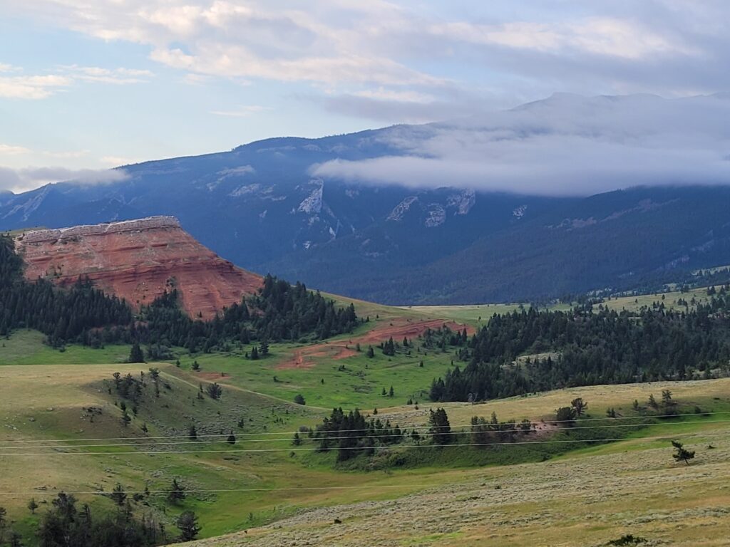
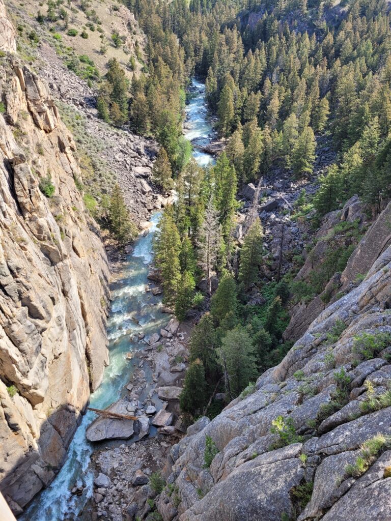
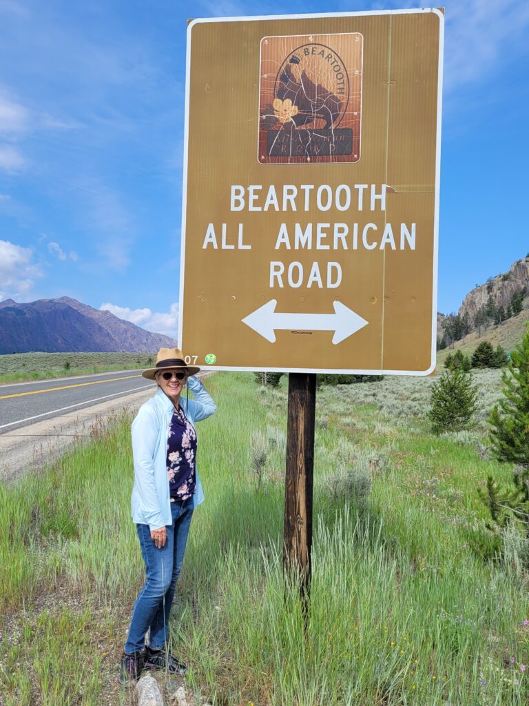
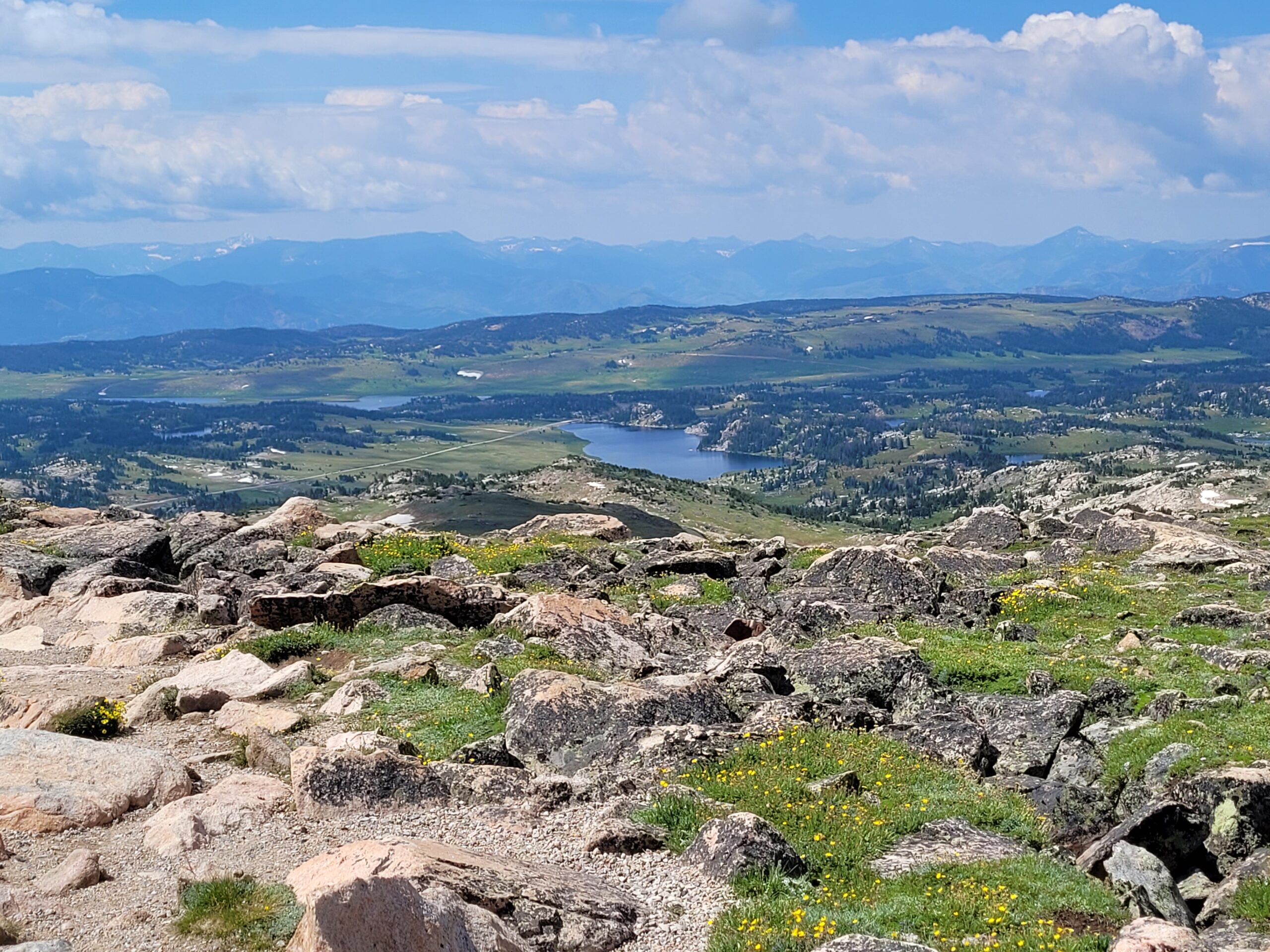
As we wrapped up the summer of 2024, we faced one last adventure while preparing to leave Oregon. We studied our planned route only to discover that rain was forecasted. A bit of a downer, but then we realized that not all our roads would be paved! Driving those routes in our four-wheel drive truck is one thing; navigating them in a 40-foot motorhome while towing a 20-foot fishing boat? That’s a whole other story!
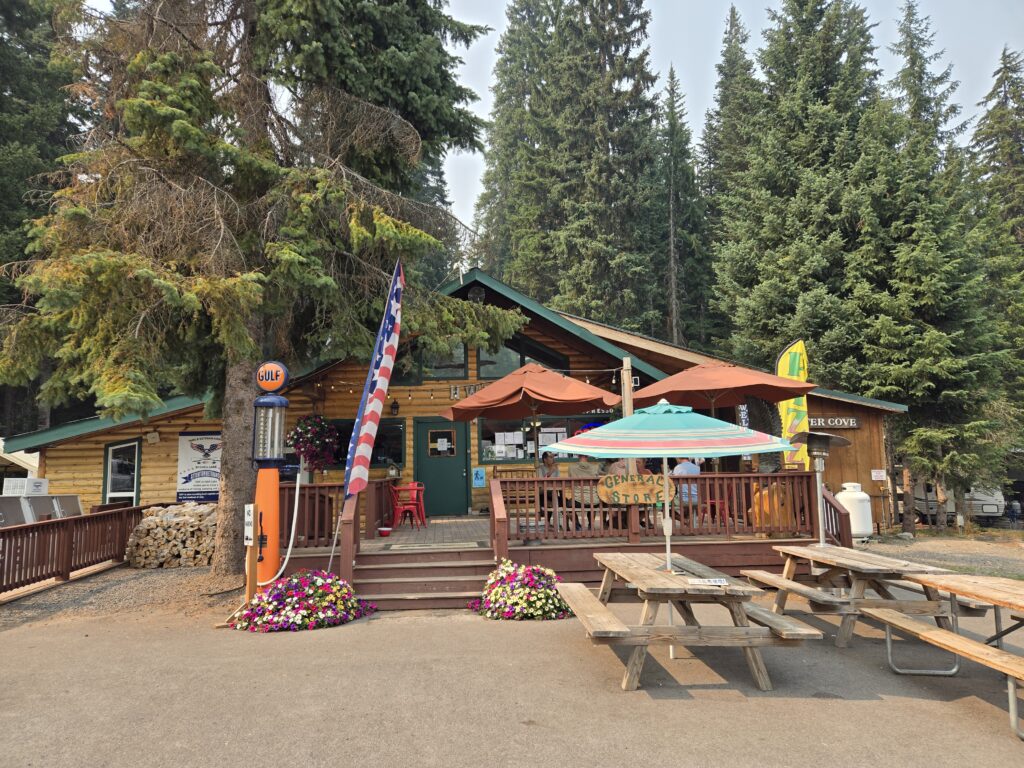
Oh, and let’s not forget about the gas situation—there was a chance we might not find fuel for over 100 miles! We made a pit stop in Burns to fill up before continuing on to Boise, retracing our steps from June.
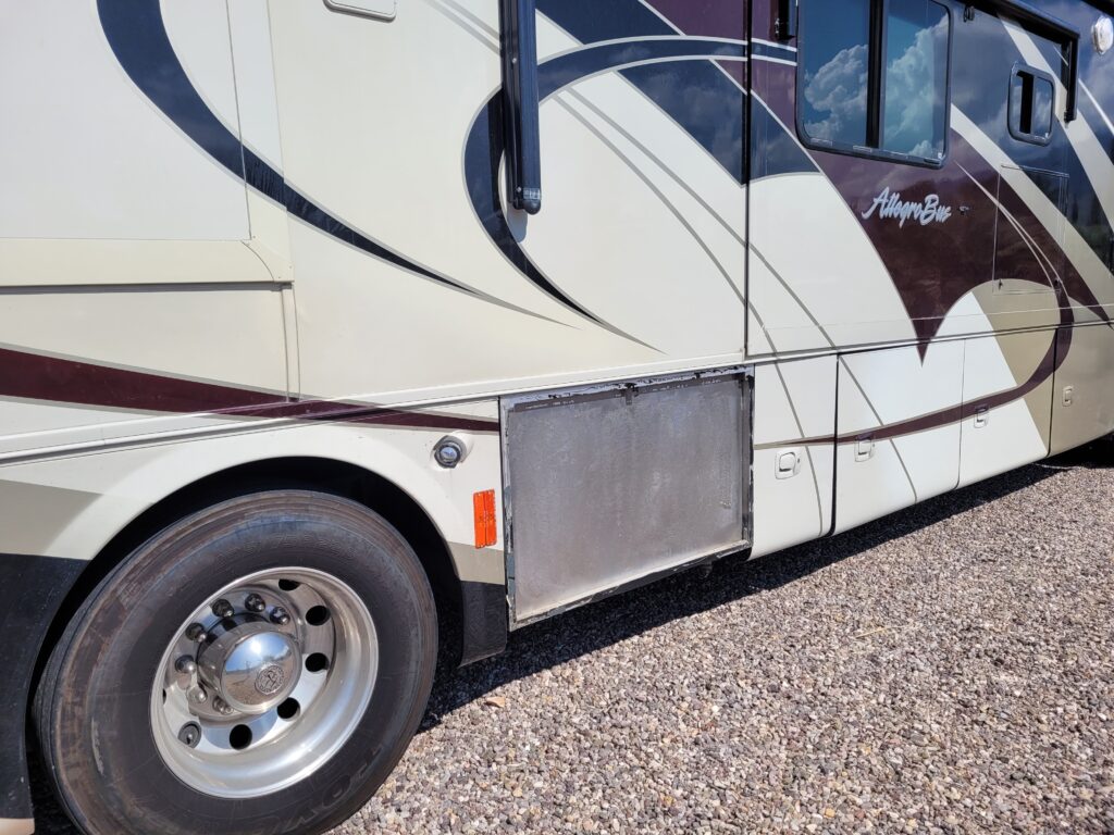
Before we left, we encountered a maintenance issue that took us by surprise. After a decade of full-time RVing, I was shocked when water gushed down the side of the slide and onto the driver’s seat! It turned out the slide seal had been turned the wrong way. We had dealt with this problem last winter in Havasu, which led to some serious dry rot issues on the slide floor. Although it’s fixed now, it was a costly and labor-intensive ordeal—insurance doesn’t cover “wear and tear,” so we were on our own.
Once in Boise, I stumbled upon a pet peeve of mine. After getting shingles shots at Walmart, I realized how much I appreciated shopping without things being locked up. In Bend, many items were secured, and employees often seemed uneasy about leaving their areas unattended. I hadn’t realized how much this bothered me until I experienced the freedom of a Walmart without those restrictions.
Both Bend and Boise are stunning cities, thriving with life and community spirit. Yet, their Walmarts couldn’t be more different. What gives?
That week, we finally got those long-overdue shingles vaccines. I spent a day recovering, while D.A. fared much better. No complaints here; I’d take a day of aches and chills over months of shingles pain any day!
And shortly thereafter in Bend, police rounded up 31 suspects involved in a string of thefts from local businesses, totaling about $22,000 in stolen goods. It’s a stark reminder of the challenges communities face, even in beautiful places.
As we embrace this nomadic lifestyle, we realize that adventure often comes with its fair share of bumps in the road—whether it’s navigating legislative hurdles, unexpected maintenance issues, or simply adapting to different local cultures. So, here’s to the journey ahead, full of surprises, lessons, and stories waiting to be told.
Until next time, happy travels and safe adventures!